
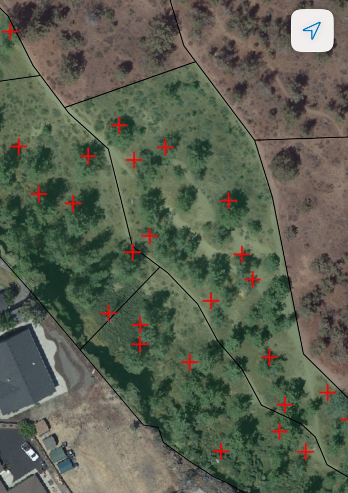
Here you can see the black lines that define the polygons we’ve been working on. When we complete the polygon and upload it to the City’s GIS that polygon is overlaid with a green tint. Those polygons we haven’t surveyed yet appear as brownish. You can also see in this picture that many or even most of the trees that appear in the aerial photo are unmarked by a red cross. That is because each of these unmarked trees are smaller than the 18 inch DBH that we set as the minimum.
Many of the polygon’s borders follow along previously established bike trail paths that were being use when the polygons were created. As we continue with the survey, we are finding more and more trails not showing up on this earlier aerial photo.
