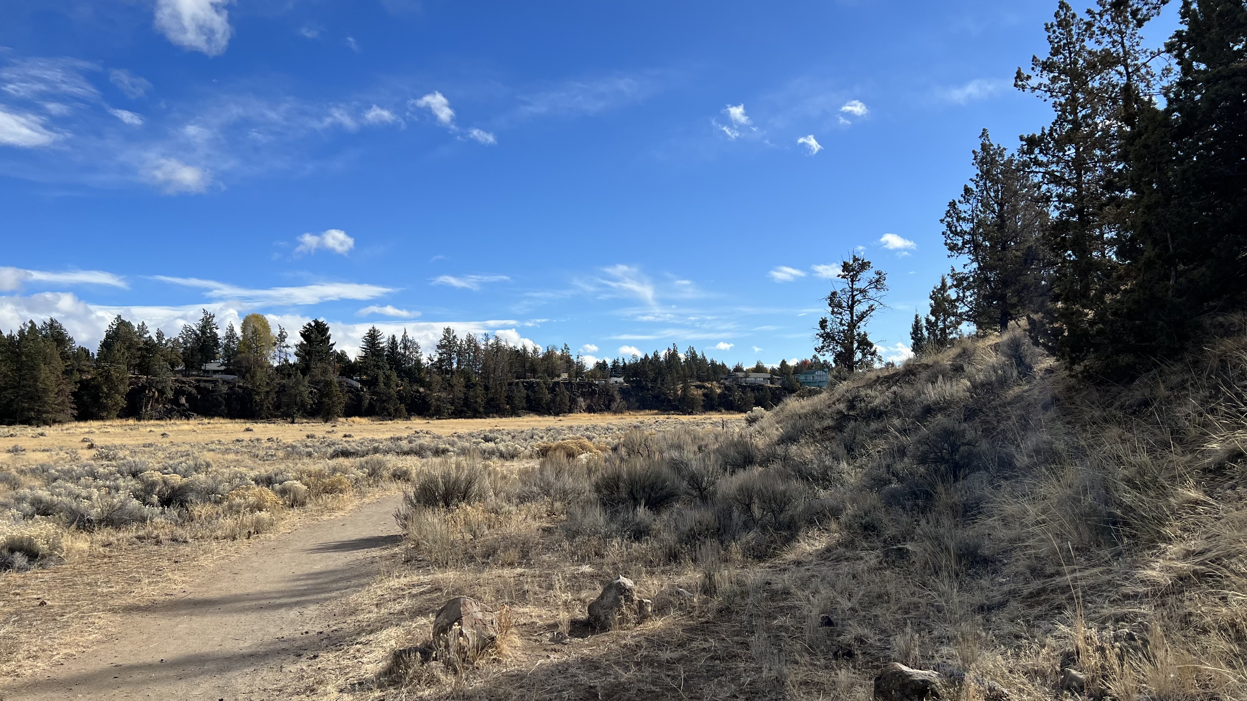
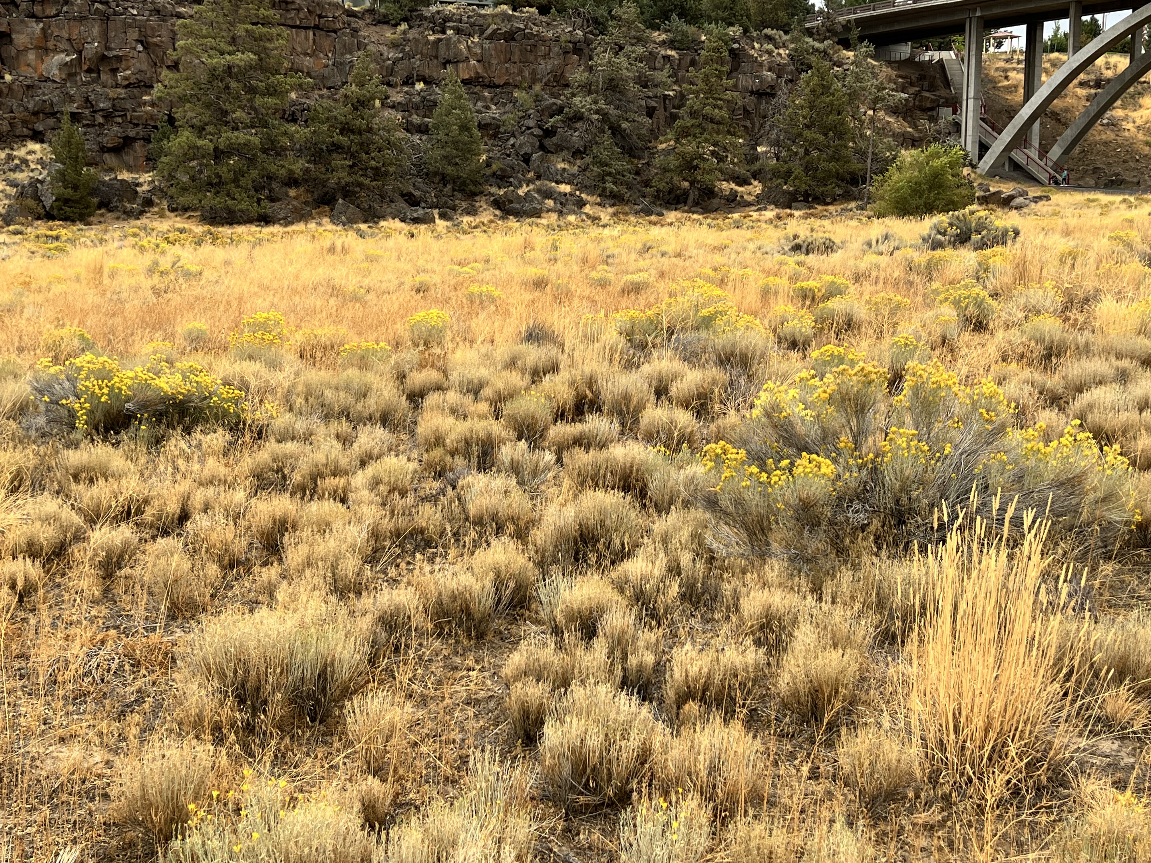
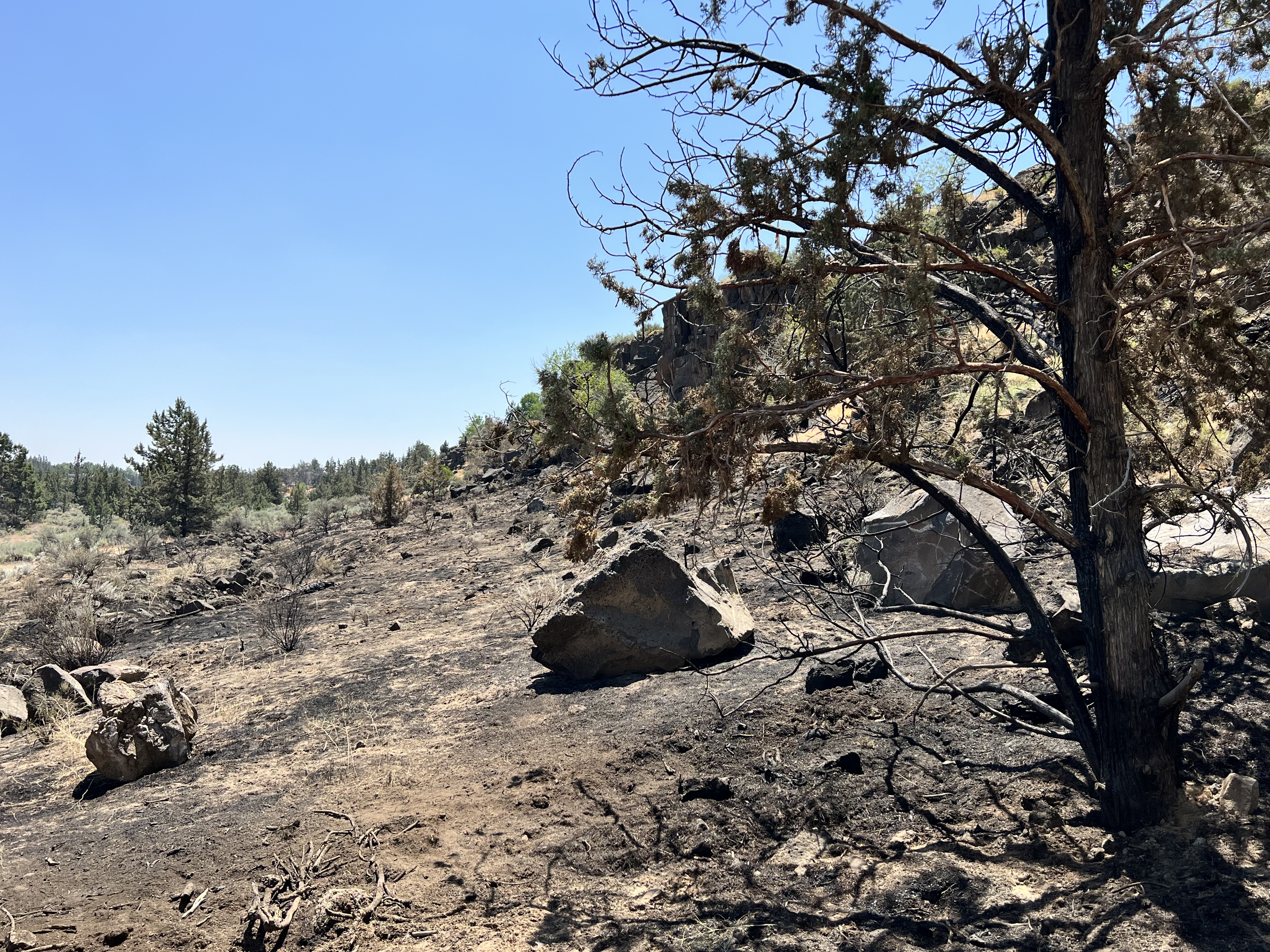
 Talk of environmental crises is everywhere, climate change, mass species extinctions, losses of critical habitat, the privatization of once public resources and landscapes (and their subsequent ‘pillaging’ by corporate entities), critically dropping aquifers, what a chaotic climate may mean for world agriculture and our food supply, a world beset by an increasing rate of diseases and diminishing efficacy of the tools we have to combat and treat them….it is daunting and depressing. At the same time, generally barely mentioned in mainstream media, are notices of studies and ideas of what we can do to not just lessen these problems, quite a few of which are being implemented, but to repair the organic and global systems, whose faltering is leading to these increasing problems and potential catastrophes. To make head way on these is going to require a much more concerted effort by most of us. What, many are asking, can we do to usher in a return to a healthier, better functioning, world…before any looming system ‘course corrections’ do the ‘work’ themselves, eliminating the human problem, that ’we’ have collectively become.
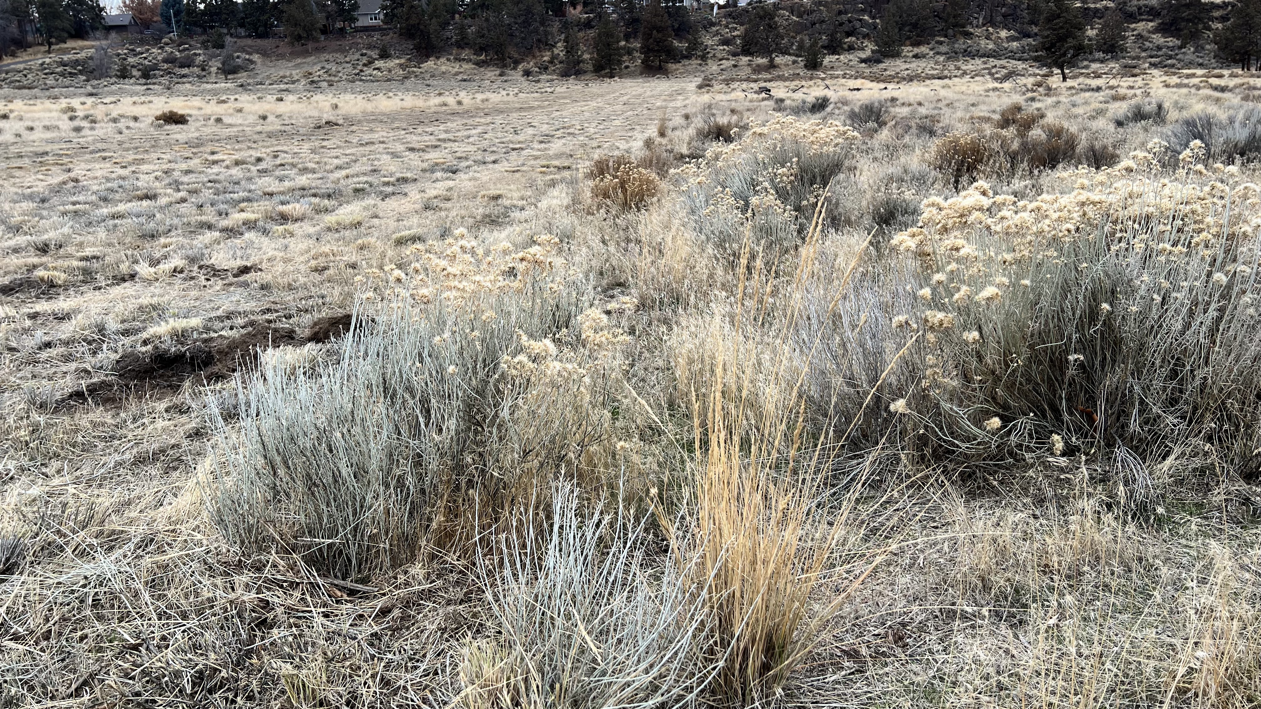
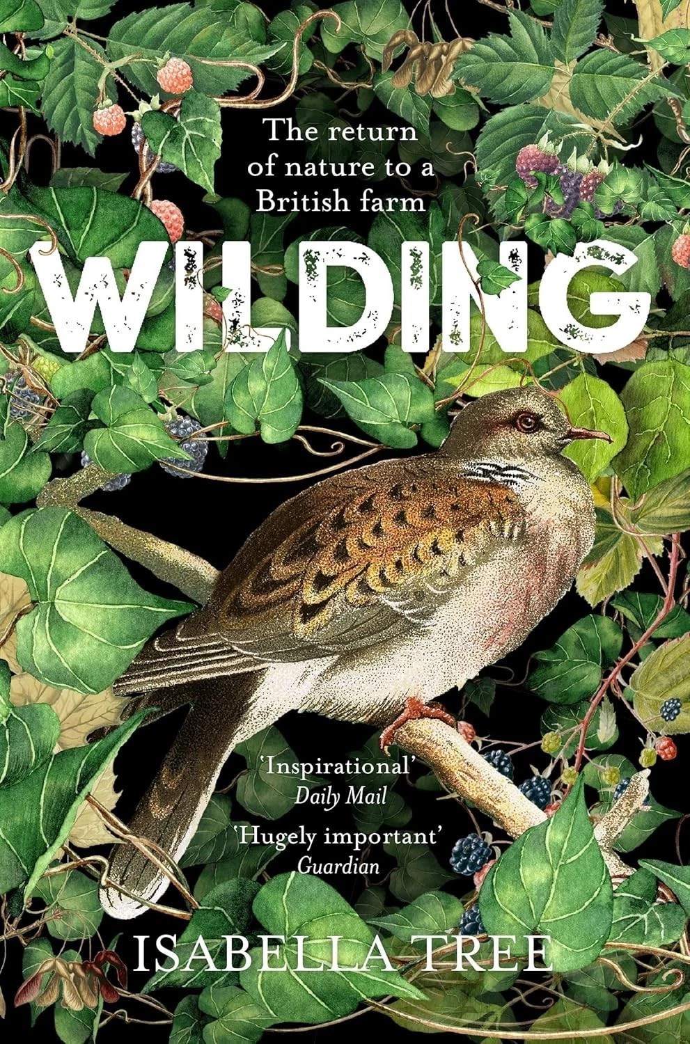
Isabella Tree’s, “Wilding: the Return of Nature to a British Farm”, which prompted this post, supports an approach in which mankind takes on a more responsive and respectful, while simultaneously, a less active role, in the management of the landscape. A ‘less active role’ because what she’s describing requires that we step back, relinquish some control, and allow the powers of nature to heal itself, stepping in where, when and how we must when those ‘forces’, diminished to the point where they are ineffectual, need the support…but no more. She calls for us to trust that our own evolved status is a product of the natural world, a potent nature with the inherent capacities and tendencies, to create, balance and heal, in like proportion to what it ‘takes’ and consumes; that we reclaim our ‘membership’, our historical relationship with this place and all of the life with which we share it. We are active agents of change and must, to the same extent, do the necessary work to heal those wounds, we’ve inflicted upon it through our economic demands and industrial power. Her story here is one of a shared fate and a faith in life, which is illustrated time and again as she and her husband, Charlie Burrell, work to understand the land and life they are beginning to re-envision, more as curious students than confident ‘experts’. The process quickly becomes one of open discovery as they attempt to understand the health of the place they previously managed as a farm, with the economic expectations of a modern world that has itself become disengaged from life, seeing it narrowly in economic terms that had long ago been separated from ecological reality, limits. and the richness of a place. Continue reading