Category Archives: Xeric

Toward the Formation of The Central Oregon Tree Explorers

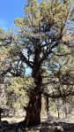
Paleontoiogists say that we first evolved as a species on the African savanna, that mixed landscape of grassland and scattered trees. Some argue that we were first a tree associated species. Be that as it may, most people have an affinity for trees today. We have our favorites. We plant them for food, as a source of material to meet various needs, for shade, for that inexplicable feeling we have when amongst them, in support of the life that came before, those dynamic communities, their complexity and the vitality, that define these places we now occupy, for their beauty. In Central Oregon with our arid to semi-arid climates, those with annual precipitation as high as 15”-20”, xeric referring to our dry summer growing season, our native trees serve as an indicator of the possible. Our local landscapes have curvilinear boundaries, that delineate areas with like moisture regimes. These go a long way in determining the native landscape (But not all of the way!).
14” of precipitation locally is roughly the bottom limit for Ponderosa Pine. You can see this as you observe grouping and the massing of tree species, forming a line from south of Bend, west and north to Sisters, then along Green Ridge and north to the Columbia. There is an in-between landscape, an ecotone, where the Ponderosa intermingle with the Western Juniper, which dominate easterly, until the average drops below what even that reduced amount can support. The ecotone roughly bisects Bend. Continue reading

On the Creation of an Urban Tree Canopy Management Plan for Redmond, Oregon

Trees can be a defining element of a community as a ‘success’ story, a failure or somewhere in-between. A community’s trees are of it, not some separate amenity provided by the City. Ideally, just as the canopy is part of a community, its care should be a part of the shared responsibility of the community, with the City providing the services the community cannot, in addition to their role of coordinating the care so that the tree canopy can provide the highest level of service while meeting aesthetic needs. The City is ideally situated to perform this role. Neither ‘group’, the community or the City can do this on their own. Training, education, outreach, project implementation (planting, tree care) are a joint responsibility. Leaving this as a City responsibility alone cannot result in the best product. Communication and partnerships should define the relationship and effort.

Picking numerical targets for increasing overall tree canopy misses the mark. We don’t just need numbers, we need site and species appropriate trees in order to grow out a healthy urban canopy that is neither water intensive, given our climate and declining aquifer, nor one that increases overall wildfire risk; one that helps us, a portion of the more powerful human residents, bridge the gap between the contrived landscape in which we spend most of our lives, and the wild, evolving landscape outside our communities, that operates in ways that balance all the competing and supportive needs, of all of the species that comprise it. Our ‘developed’ communities, heavily prioritize a narrow fraction of the lives within them.

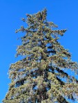
Tree selections should be supportive of local wildlife and pollinators in addition to providing the environmental services associated with urban tree canopies…not just those of the decision makers within the human community. Planting the wrong trees to get initial numbers up, as some kind of marker of success, will be relatively short lived at best. Trees are a long term, living and growing investment, that shape the future. However we slice it, they will demand water in larger amounts as they grow over time. So our choices should be thoughtful and considered. At issue is whether the normal growing conditions can adequately support the growth of chosen trees. We know that almost any other tree, beyond our Western Juniper, will require supplemental water. How much though we need to weigh. When tree and climate are a mismatch the result is evidenced locally by the increasing numbers of shade trees around town where owners have turned off the water leading to stressed and dying trees. Success is absolutely dependent upon well chosen trees, their ongoing care and the participation of an informed public.


Continue reading

The Nutrient Cycling Role of Fire in Central Oregon’s Arid Landscapes

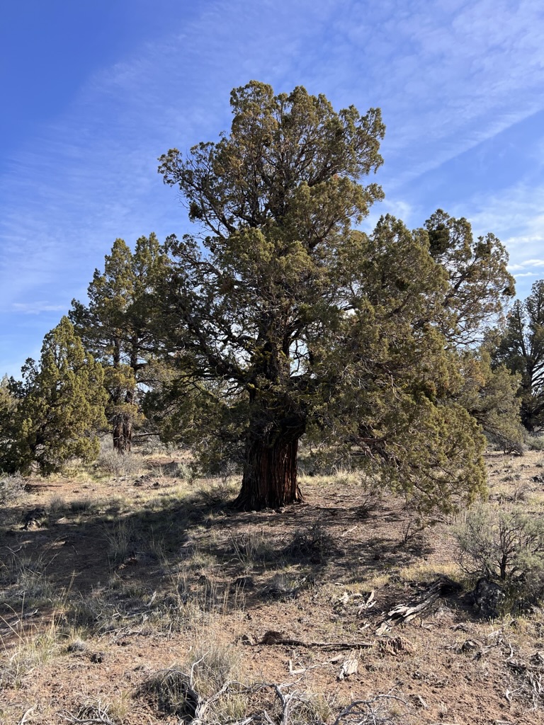
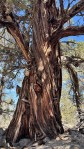
A Juniper like this one, growing out on BLM land around Cline Buttes, attains this squat and sturdy stature only after hundreds of years. Growing as they do on shallow, raised rocky areas, not only do they grow slowly, but there tendency is to caliper up. In irrigated pastures, these grow overly fast, spindly and upright. Look at that taper!

Ecologists will regularly claim that fire plays an essential role in the life and dynamics of the Juniper woodland, our sagebrush steppe and the grasslands of our arid and semi-arid plant communities, that without it, the landscape will deteriorate. Okay, but what does that mean? How can fire actually lead to a landscape’s improved vitality and diversity? What does fire actually do and what happens when it is eliminated? The short answer is that fire, in burning the collected fuels on the ground, breaks them down and returns them in nutrient form to the soil and the cycle of life. It provides the space necessary for a healthy and diverse landscape. To get there requires more thinking.

First some essential definitions and clarifications are needed: what are these ‘types’ of landscapes that together can be found in the arid reaches of Central Oregon; all landscapes are dynamic, evolving, changing over time according to the forces in effect on them, they are not static or fixed; what is meant by arid and semi-arid; fire, what is it, what is actually occurring when something ‘burns’; what is going on at a molecular level when an arid landscape burns; if this is so necessary, what fulfills this role in wetter landscapes; what’s the relationship between fire, rot and digestion; how, and does it, serve the nutrient availability and the necessities of organic growth. In understanding these basic parts we can better understand the self-renewing CYCLE of life as an ongoing process and how disruptions to it negatively influence its capacity to continue. Continue reading

Redmond’s Dry Canyon Firewise Management Plan, a Critique and Call to Action

Those who follow such things know that I’ve been involved in the preservation and enhancement of Redmond’s Dry Canyon, joining with others to form the Friends of North Dry Canyon Natural Area as an advocacy group, working to educate the public about its qualities and fragility, while also providing ‘boots on the ground’ with clean up projects and the control of threatening Invasive plants. Most recently we’ve been supporting other groups and participating with a guided naturalist walk, a bat walk and a recent Botany and Birds, walk with the High Desert Chapter of the Oregon Native Plant Society and Queer as Flock, a bird watcher’s group. We’ve been advocating for better signage, a trails management plan and for increased efforts to control the illegal use of electric and gas powered motorcycles in the Canyon. Additionally we have be doing the Juniper survey work for the City, to help create a plant data base linked with the City’s GIS program to aid them/us in the development of an effective management plan for Dry Canyon. We’ve only been recently notified, along with the rest of the public, that the City has a new Dry Canyon Firewise Management Plan (a PDF is linked below), which we were assured included participation by foresters, local natural resource and conservation groups…yet, somehow, they’ve produced a one dimensional plan with the singular priority of eliminating the chances of a catastrophic fire, while ignoring virtually all other priorities!!!! Continue reading

Holodiscus microphyllus, Rock Spiarea in Dry Canyon

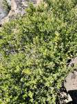
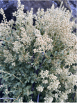
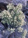
Another less common slope dweller is Holodiscus microphyllus, or Bush Ocean Spray, a deceiving name, or Rock Spiarea, which is also somewhat confusing. Confusing because Spiarea is the genus name for an entirely different genera of shrubs. So I call it simply Holodiscus. ( Botanical names can be confounding to the uninitiated. I’m not a big user of mnemonics, but I still remember first learning this plant’s close relative, Holodiscus bicolor, and the phrase immediately came to mind, ‘Holy Discus, Batman!” I know, silly, but I doubt I will ever forget that plant.)

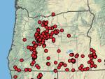
This typically occurs on the eastern flank of the Cascades and in the mountains of SE Oregon. The common name, ‘rock’, suggests its preferred sites. I’ve not seen one in Dry Canyon bottomland. It seems most common below the east rim north of the Maple Bridge. Continue reading

The Cut Leaf Thelypody in Dry Canyon

[Plants of the Dry Canyon Natural Area – This will be the start of a new series focused on the plants of Redmond’s Dry Canyon. I’m creating them to be posted for ‘local’ consumption on the Friends of North Dry Canyon Natural Area. It’s a City Park including about 166 acres at the north end of Dry Canyon Park which the City has identified as a Natural Preserve. The group works as an advocate with the City, on public education and helping with on the ground work projects. I’ll identify each such post here.]

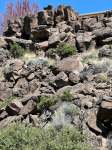
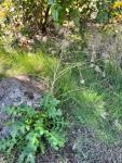
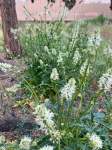
As you walk the trails below the canyon rims you will be seeing these growing scattered and in bunches. This is the Cut Leaf Thelypody, Thelypodium lacinatum. These are common where ever there’s a bit of soil between the rocks on the slopes below the rims growing amongst the tumble of massive basalt. I’ve seen these elsewhere growing in other eastside Oregon canyons with similar conditions.
These are members of the Mustard family, prolific seed producers and quite competitive. Another plant that, at least so far, doesn’t venture out into the canyon’s bottomland.
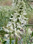
Elegant when it first starts flowering, like so many native annuals and perennials, these start declining while they proceed through their flowering season detracting from their appearance. What do I mean…each spent flower, begins to form its narrow, linear, Mustard seed capsule, quickly maturing its tiny seed and then drying, twisting and browning, while the inflorescence continues to bloom out towards its terminal end. A little messy, yes, but characteristic of these plants. We humans are relatively intolerant of such decline in our garden plants and so generally refuse them admission. Under the local wild conditions, as dry as they are, species tend to either be early flowering, when soil moisture is still most available or those like this that begin to decline before the show is over. Summer drought is a ‘cruel’ taskmaster. There are exceptions to this rule but….

https://oregonflora.org/taxa/index.php?taxon=8778

On Ornamental Trees and the Remaking/Unmaking of Place: Revising the City of Redmond’s Tree List, Part 1

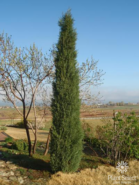
Perhaps an odd tree to start this with, Juniperus scopulorum ‘Woodward’, is not a ‘shade tree’. It is not deciduous. It is a narrow, fastigiate form of Rocky Mtn. Juniper that, growing to a height of 20′ with a 2′-3′ spread can serve as a formal accent in colder climates like ours, a ‘replacement’ for the more tender Italian Cyperss, and it can do quite well here with very little supplemental water.

Trees, specifically ornamental shade trees, have become an expected and desired part of our urban lives, at least util their leaves fall and await our cleanup. Many associate long tree lined streets and avenues with urban living. Broad Maples. Lofty Elms. Plane Trees and, in tighter spaces, perhaps Cherrys, Crabapples and flowering Plums. Urban trees provide several notable ‘environmental services’ increasing our comfort level with their cooling shade, their capacity to remove pollutants from the air, cover and nesting places for birds, food sources for the insects which the birds rely on and the sequestration of carbon. Trees are generally viewed as a public good, necessary even for our lives. We can get quite emotional about them. So it seems a bit ‘wrong’ to suggest that this ‘ideal’ may not always be ‘best’ or even desirable.

Broadleaved deciduous shade trees are ‘naturally’ members of mesic, temperate to cold-temperate regions of the world. That is where they evolved and where when we plant them out, where they do best. When we begin planting them outside of their historic natural ranges, especially when we ignore the conditions, the disparities and the extremes between their natural ranges and those where we choose to plant them, then we can have some serious problems. The trees may struggle along, or if we remain committed to making up for our local area’s lacking, usually in the form of supplying more water, they can do reasonably well. But this suggests possible real problems as one moves further away from the conditions of a tree’s natural limits and increase the numbers planted out. Where is this water coming from and what are the impacts of removing this water from its normal and healthy cycling of which it is a part? What will be going without? And, is that cost worth the losses it creates? Our selection and planting decisions depend on how we value that which is lost! In short, the typical deciduous shade tree of our imaginings do not belong here in a desert. Continue reading

Weeds: What We Need to Do at DCVS

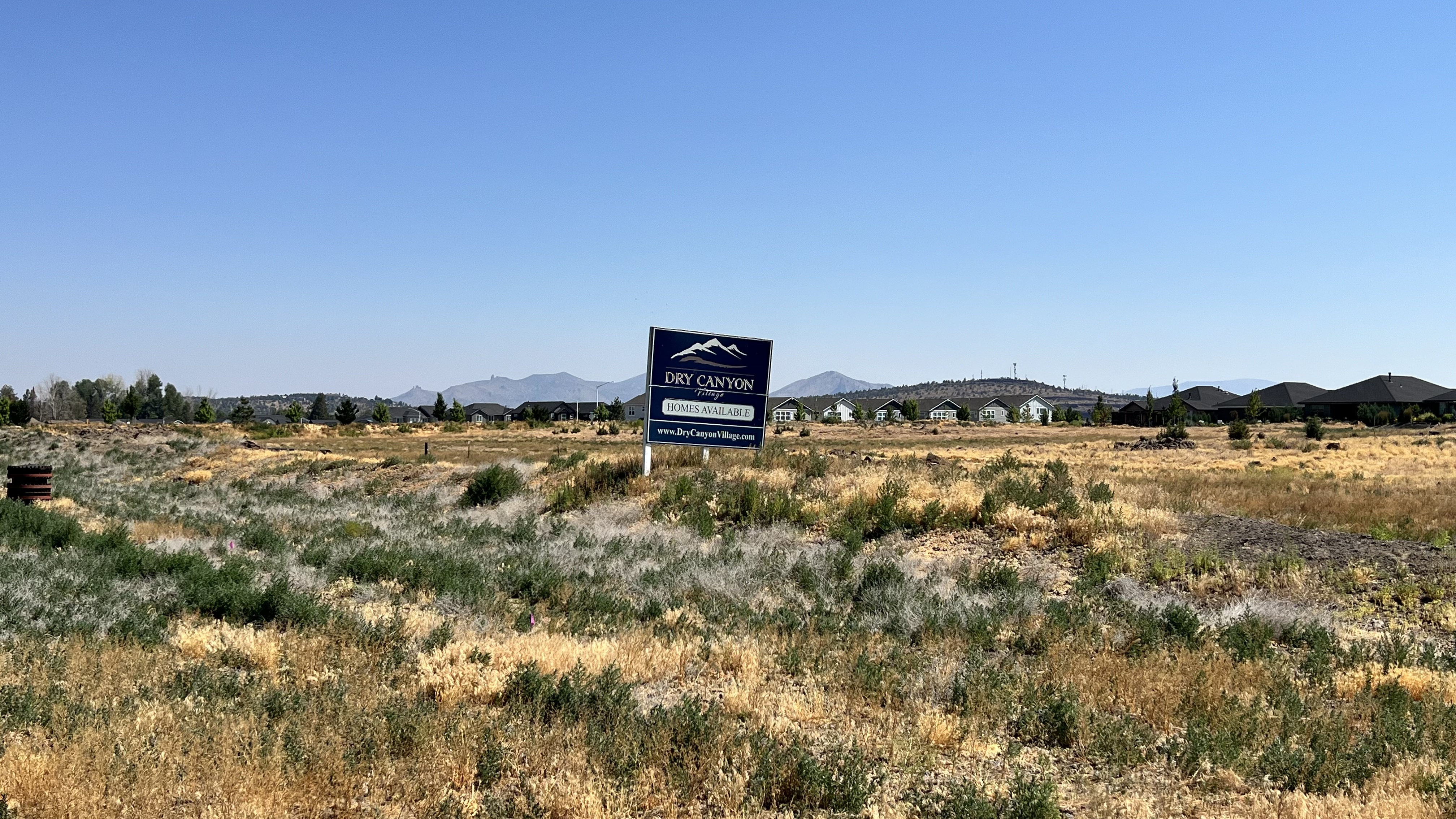
Looking NE from the gate at Northwest Way, other than a handful of juvenile Juniper there is literally nothing native of value across this roughly 9 acre spread. The other two undeveloped phases are equally bad, having a similar mix of weeds.

The question I keep hearing is, ‘What do we do?’ Many, if not most people living here now, have expressed frustration and more about the Dry Canyon Village South, DCVS’s, landscapes, specifically the berm, the mini-parks,  the Circle and the 25+ acres of undeveloped, uncared, for property we share space with. They ask me because they know I cared for Park landscapes, as a field horticulturist, for almost 30 years, Parks which often included natural areas of over 100 acres, to little neighborhood parks and intensively developed and used urban parks in the downtown core. I also haven’t been shy about my criticism of the lack of care, or of even a plan, for the neglected property we are saddled with. Anyone who has cared for a landscape can see the problem here. Leaving disturbed and neglected properties on their own is not a plan and can lead only to their further deterioration and continuing, worsening, ‘weed pressure on the adjacent developed landscapes. Continue reading

On Healing: Life, Place and Relationship in Oregon’s Great Basin Country

The massive fault block of Hart Mountain, Poker Jim Rim in the distance to the north. The gravel county road switchbacks up the more than 3,000′ beginning from the center in the distance here. From here this is how you get to Steens Mountain without doing miles of backtracking.

I woke up this morning to the sound of bird song…nothing else. There were Western Meadowlarks and a multitude of others, I’m sorry to say I don’t know, but beautiful and distinct. I was laying in bed, atop our truck, thinking about how rare an event this is for so many of us…not that the birds aren’t here greeting the morning every day, but that so many of us aren’t ‘available’ to hear them, sequestered away safely in our homes, otherwise occupied or, more commonly, the birds literally excluded from our urbanized and ‘modern’ places of residence, their own places developed/destroyed. Entire neighborhoods and cities excluding all but the most common songbirds and passerine species.  Little quarter is afforded most wildlife in modern development…and that upon which their lives depend.  Continue reading

The Flushing/Testing of Redmond’s New Municpal Well Into Dry Canyon’s Natural Preserve

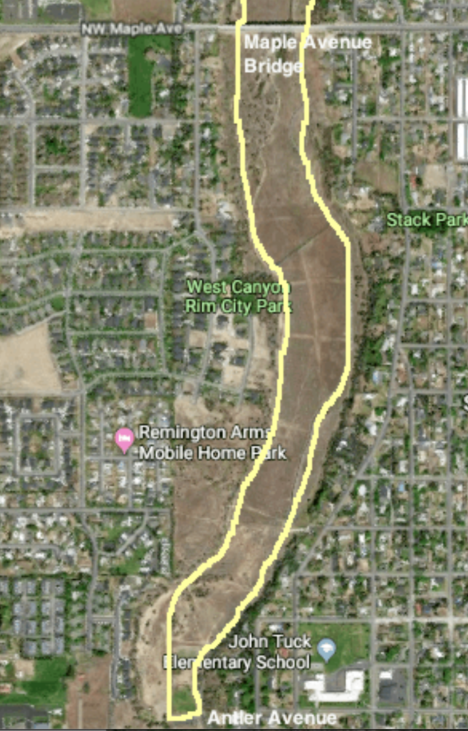
This shows the effected portion of Dry Canyon Park from Antler, at the bottom, where the new municipal well is located, north to the Maple St. Bridge. The Fir connector trail shows up faintly cutting diagonally across the canyon from Fir Ave, 3 blocks north of John Tuck School. West Canyon Rim Park is labelled on the the left. The trail/dam cuts up, northeasterly from it, gray as it is asphalted, faintly in the pic. The water travelled 200 yds north of it, a bit short of halfway up to the Maple Bridge.

I’ve adopted Redmond’s Dry Canyon Park as a project, so I’ve gotten kind of possessive about things that threaten and effect it…but it is a City Park and cities often have competing demands and priorities. In this case the City is under considerable pressure to keep growing. People and businesses are still arriving here at a high rate and this puts demands on its public infrastructure, in this case its water supply. A city of its size also finds itself in need of more Park lands as people’s private space shrinks, population density increases and we all turn to the same limited landscapes for recreation. Compound this with the demand of wildlife and plants for relatively undisturbed landscapes on which they can simply live. Well, this is a case where two of these priorities have come into conflict, and as usual, the utilitarian demands have won out over those for the living natural world (There is no division of the City or local advocacy group, at this point, speaking up for the natural landscape and the life it supports). The utilitarian ‘needs’ of the community are simply a higher priority than those of the natural world. The State is responsible for our water resource and has control over adding new wells and how that is to be done. It is in at least part a health and safety issue. In this role they require that municipalities flush the wells and conduct a flow test to determine rate, drawdown and recovery. This was to be done by running it at full volume 24 hours a day for four days. At 3,500 gals./min. That’s 5 million gals per day. 20 million gals total. That water must go somewhere. It would have overwhelmed our wastewater treatment plant which is running at close to capacity already so it couldn’t be wasted down a manhole…so, it had to be wasted into the landscape of the Canyon itself.

The City contested this amount. This is almost double the amount used by by all residents on a typical winter day of 2.7 million gallons (In summer, due to landscape irrigation the daily amount jumps to 15.8 million gals.). This was all to be ‘wasted’ across the canyon floor. The City had concerns with damage to area infrastructure and paved paths. This requirement was cut in half and eventually to a single 12 hour period as the flooding/washing problem played out. The amount flushed was 2.5 million gals.

April 14, 2024

The filling ‘reservoir’ abutting the north path.

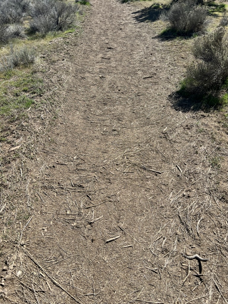
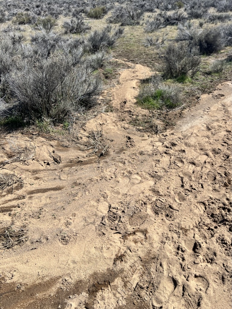
I was unaware of the details of this as I walked the stretch of path this afternoon  going north along the west side dirt path, from the trail connector between the main paved trail, extending from the Fir Ave. stairs. I was surprised at all of the surface erosion on and around the dirt path. In some places a foot or more of path had been scoured away, flushed out into the surrounding landscape, its Bitterbrush, Rabbitbrush and other low plants. This erosion continued north following the contours and the trail.

The northern extreme of the test run, where the flow slowed and settled all of the light organic debris.

As the flow spreads and slows larger denser material settles out. Here sediment was deposited in the trail itself and on the ground where the water fanned out.

The flooding had continued a couple hundred yards to where the flow stopped depositing a layer of organic debris the water had carried along.

(I learned on the 17th that this was the result of a test to see what kind of damage might occur and to gauge how the water would spread across the site. This is why the crew was there on the 17th. The test was an attempt to determine the flow pattern so that they could minimize damage.) Continue reading