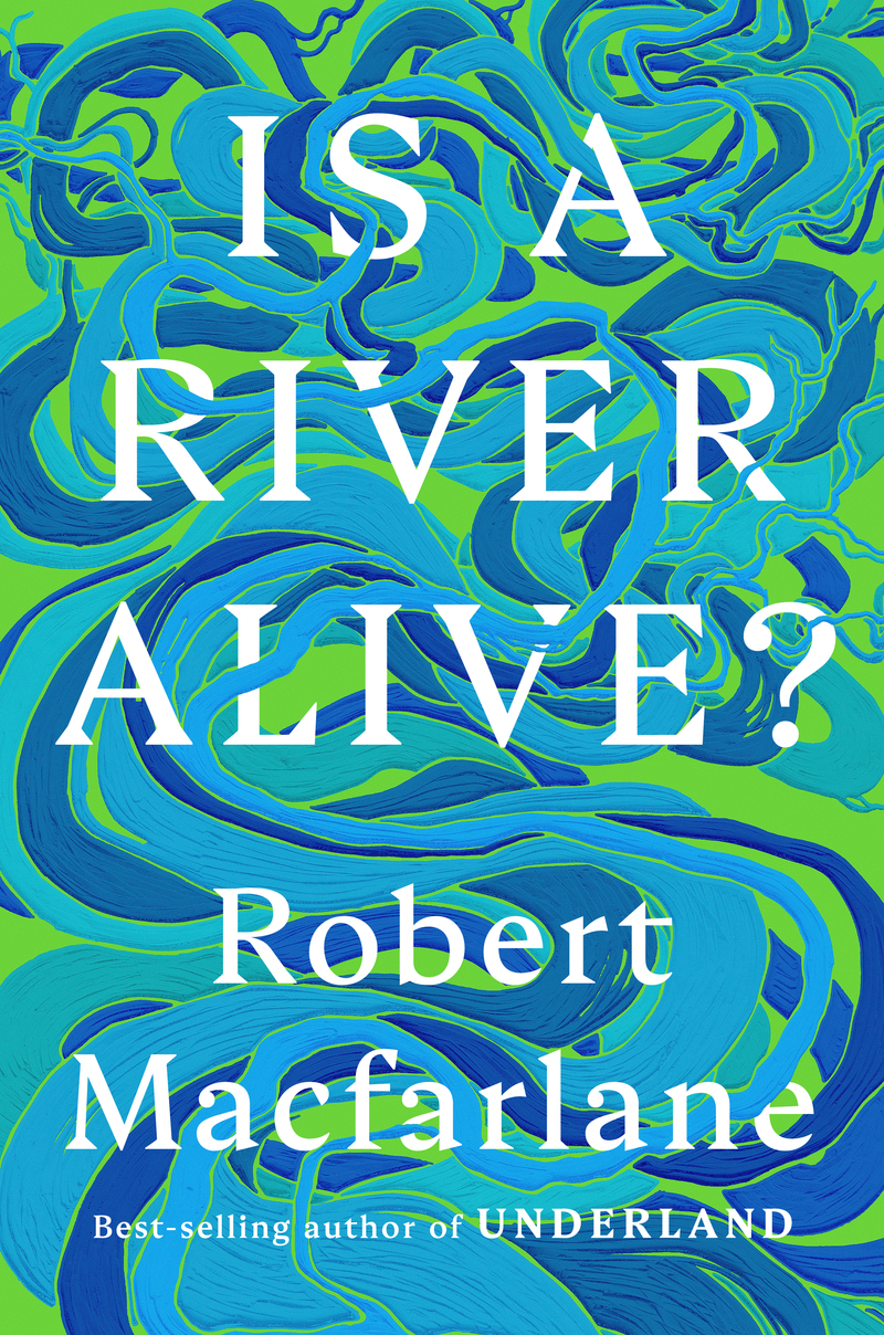
 Being a horticulturist, a student of ecology, evolution and all of the usual life science topics, my reading list is long with books I find and others recommended to me by friends. This most recent is one of the latter, “Is a River Alive?”, by British writer Robert MacFarlane. I hadn’t read any of his other books and my friend John thought I’d enjoy it…I did. I listened to it and, as it was read by MacFarlane himself, he added a bit of rhythm and emotion in his reading that would not have been there were I reading it in book form. This is particularly significant as you read the more emotionally driven sections, which, in this format, the ‘Canadian’ section, turns out to be a rollicking, adrenaline laced adventure story.
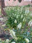
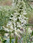
While focusing on rivers, this is a book about the rights of nature, legal and otherwise. Why, does the growing community of such thinkers and activists, seem to think nature, in all of its forms, from fungi to mountains, rivers to oceans, the grandest to the most minuscule living species, deserve rights comparable to we humans? What makes them so special? MacFarlane and his compatriots, would turn that around, instead asking what makes we humans so special as to deserve that which we deny literally all others? Their only value, in how they serve us….The rights of nature proponents do not argue simply for their own favorite species or place, many of those so advocating, and protesting, come from thousands of years old indigenous traditions, peoples who have always recognized the links between all living things and those places and forces which permit and support them. And this isn’t because they are simple, backwards, savages or naive. Such thinking is not born out of the heads of green patriots, earth firsters and narrowly focused academics. This is a movement based on memory, connection, of those living in relationship with, in which respect for all things comes first, a world in which life is a gift, to be treasured…all lives, all species, all places, it is a remembering that no one individual, species or place is so special that any and all others may be sacrificed for its needs, its demands, its hungers. Continue reading