Category Archives: Central Oregon

Toward the Formation of The Central Oregon Tree Explorers

Paleontoiogists say that we first evolved as a species on the African savanna, that mixed landscape of grassland and scattered trees. Some argue that we were first a tree associated species. Be that as it may, most people have an affinity for trees today. We have our favorites. We plant them for food, as a source of material to meet various needs, for shade, for that inexplicable feeling we have when amongst them, in support of the life that came before, those dynamic communities, their complexity and the vitality, that define these places we now occupy, for their beauty. In Central Oregon with our arid to semi-arid climates, those with annual precipitation as high as 15”-20”, xeric referring to our dry summer growing season, our native trees serve as an indicator of the possible. Our local landscapes have curvilinear boundaries, that delineate areas with like moisture regimes. These go a long way in determining the native landscape (But not all of the way!).
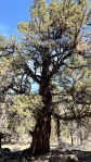
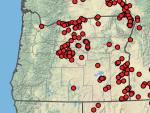
14” of precipitation locally is roughly the bottom limit for Ponderosa Pine. You can see this as you observe grouping and the massing of tree species, forming a line from south of Bend, west and north to Sisters, then along Green Ridge and north to the Columbia. There is an in-between landscape, an ecotone, where the Ponderosa intermingle with the Western Juniper, which dominate easterly, until the average drops below what even that reduced amount can support. The ecotone roughly bisects Bend. Continue reading

On the Creation of an Urban Tree Canopy Management Plan for Redmond, Oregon

Trees can be a defining element of a community as a ‘success’ story, a failure or somewhere in-between. A community’s trees are of it, not some separate amenity provided by the City. Ideally, just as the canopy is part of a community, its care should be a part of the shared responsibility of the community, with the City providing the services the community cannot, in addition to their role of coordinating the care so that the tree canopy can provide the highest level of service while meeting aesthetic needs. The City is ideally situated to perform this role. Neither ‘group’, the community or the City can do this on their own. Training, education, outreach, project implementation (planting, tree care) are a joint responsibility. Leaving this as a City responsibility alone cannot result in the best product. Communication and partnerships should define the relationship and effort.

Picking numerical targets for increasing overall tree canopy misses the mark. We don’t just need numbers, we need site and species appropriate trees in order to grow out a healthy urban canopy that is neither water intensive, given our climate and declining aquifer, nor one that increases overall wildfire risk; one that helps us, a portion of the more powerful human residents, bridge the gap between the contrived landscape in which we spend most of our lives, and the wild, evolving landscape outside our communities, that operates in ways that balance all the competing and supportive needs, of all of the species that comprise it. Our ‘developed’ communities, heavily prioritize a narrow fraction of the lives within them.

Tree selections should be supportive of local wildlife and pollinators in addition to providing the environmental services associated with urban tree canopies…not just those of the decision makers within the human community. Planting the wrong trees to get initial numbers up, as some kind of marker of success, will be relatively short lived at best. Trees are a long term, living and growing investment, that shape the future. However we slice it, they will demand water in larger amounts as they grow over time. So our choices should be thoughtful and considered. At issue is whether the normal growing conditions can adequately support the growth of chosen trees. We know that almost any other tree, beyond our Western Juniper, will require supplemental water. How much though we need to weigh. When tree and climate are a mismatch the result is evidenced locally by the increasing numbers of shade trees around town where owners have turned off the water leading to stressed and dying trees. Success is absolutely dependent upon well chosen trees, their ongoing care and the participation of an informed public.


Continue reading

Tree Planting Problems at Dry Canyon Village

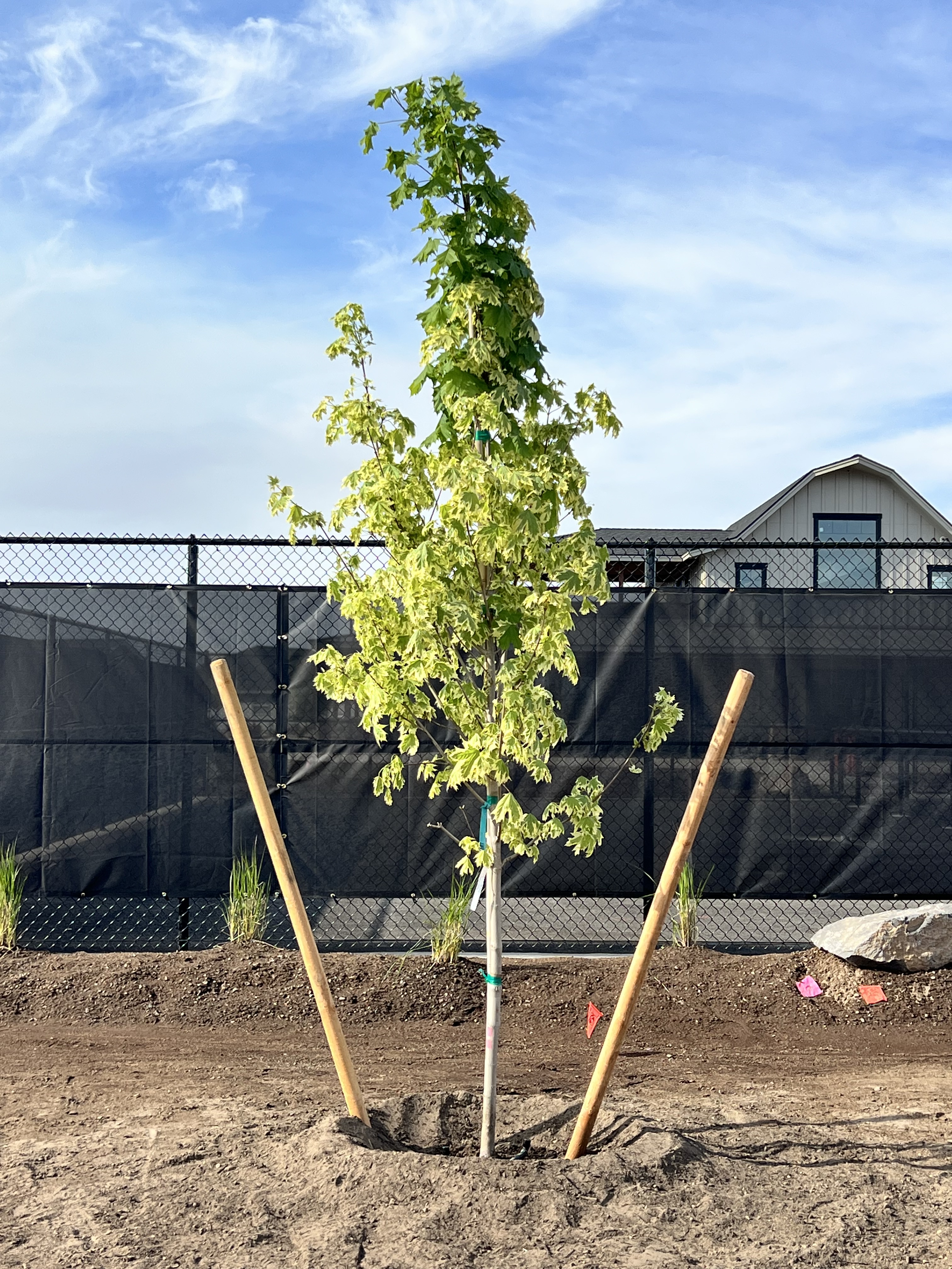
The reversion on this competing leader threatens to dominate the canopy if not removed. The planting appears good, straight trunk, well staked. It is always what is below ground, that is not readilly visible, that’s critical.

When I was still working for the city of Portland Parks, one of my jobs, for a number of years, was to do design reviews and construction inspection on big capital Parks projects being built from scratch downtown including South Waterfront, Caruthers, Jamison Square, Director’s Square,Tanner Springs and The Fields. I’d attend meetings with our project managers and the landscape architects, charged with assessing the appropriateness of their plant choices given their requirements, the site conditions, our capacity to provide the necessary maintenance over time, whether their combination presented conflicts, without commenting on the aesthetic of their designs, which was considered outside my expertise. Sometimes I was asked to do the same for projects in other areas. I’d visit the project sites regularly to observe prep work, planting and follow-up care, suggesting changes to the contractor and writing up my report. The architects generally approved, or rejected, the plant stock coming into a job, accepting or rejecting substitutions. It was my job to make sure that plants were properly cared for on site before planting, the prep appropriate, that they were planted properly and cared for over the first year of establishment. Continue reading

The Nutrient Cycling Role of Fire in Central Oregon’s Arid Landscapes

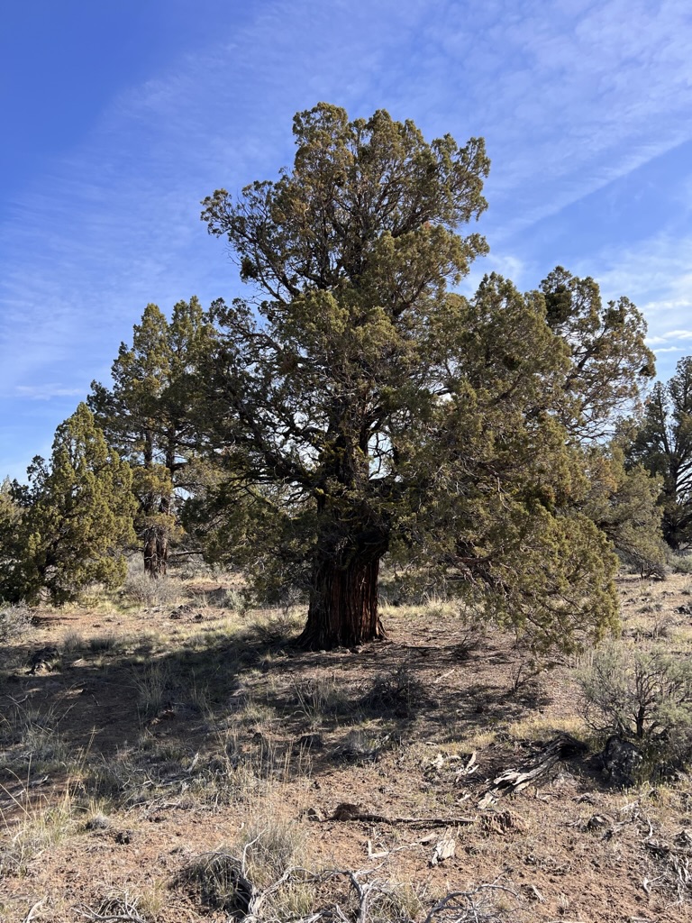
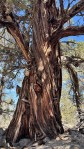
A Juniper like this one, growing out on BLM land around Cline Buttes, attains this squat and sturdy stature only after hundreds of years. Growing as they do on shallow, raised rocky areas, not only do they grow slowly, but there tendency is to caliper up. In irrigated pastures, these grow overly fast, spindly and upright. Look at that taper!

Ecologists will regularly claim that fire plays an essential role in the life and dynamics of the Juniper woodland, our sagebrush steppe and the grasslands of our arid and semi-arid plant communities, that without it, the landscape will deteriorate. Okay, but what does that mean? How can fire actually lead to a landscape’s improved vitality and diversity? What does fire actually do and what happens when it is eliminated? The short answer is that fire, in burning the collected fuels on the ground, breaks them down and returns them in nutrient form to the soil and the cycle of life. It provides the space necessary for a healthy and diverse landscape. To get there requires more thinking.

First some essential definitions and clarifications are needed: what are these ‘types’ of landscapes that together can be found in the arid reaches of Central Oregon; all landscapes are dynamic, evolving, changing over time according to the forces in effect on them, they are not static or fixed; what is meant by arid and semi-arid; fire, what is it, what is actually occurring when something ‘burns’; what is going on at a molecular level when an arid landscape burns; if this is so necessary, what fulfills this role in wetter landscapes; what’s the relationship between fire, rot and digestion; how, and does it, serve the nutrient availability and the necessities of organic growth. In understanding these basic parts we can better understand the self-renewing CYCLE of life as an ongoing process and how disruptions to it negatively influence its capacity to continue. Continue reading

Redmond’s Dry Canyon Firewise Management Plan, a Critique and Call to Action

Those who follow such things know that I’ve been involved in the preservation and enhancement of Redmond’s Dry Canyon, joining with others to form the Friends of North Dry Canyon Natural Area as an advocacy group, working to educate the public about its qualities and fragility, while also providing ‘boots on the ground’ with clean up projects and the control of threatening Invasive plants. Most recently we’ve been supporting other groups and participating with a guided naturalist walk, a bat walk and a recent Botany and Birds, walk with the High Desert Chapter of the Oregon Native Plant Society and Queer as Flock, a bird watcher’s group. We’ve been advocating for better signage, a trails management plan and for increased efforts to control the illegal use of electric and gas powered motorcycles in the Canyon. Additionally we have be doing the Juniper survey work for the City, to help create a plant data base linked with the City’s GIS program to aid them/us in the development of an effective management plan for Dry Canyon. We’ve only been recently notified, along with the rest of the public, that the City has a new Dry Canyon Firewise Management Plan (a PDF is linked below), which we were assured included participation by foresters, local natural resource and conservation groups…yet, somehow, they’ve produced a one dimensional plan with the singular priority of eliminating the chances of a catastrophic fire, while ignoring virtually all other priorities!!!! Continue reading

On Our Western Juniper Survey in Redmond’s Dry Canyon

This is an explanation of the importance of the survey work being done by the Friends of North Dry Canyon Natural Area, FNDCNA, and it’s role in the creation of a broader management plan, and a fire management plan, that addresses both community safety needs, as well as those of the Western Juniper and Sagebrush steppe plant communities in Dry Canyon. This is a 160 acre portion of the Canyon Park that stretches 3.7 miles, north to south, through the City, a remnant of one of the canyons formed by one of the previous courses of the paleo-Deschutes River, (There were at least two, one some distance east of Redmond’s location, joining with the Crooked River at present day Smith Rock State Park. The current Deschutes River flows 4 miles to the west of this location through a canyon carved in its earlier stages by Tumalo Creek.) Continue reading

Holodiscus microphyllus, Rock Spiarea in Dry Canyon

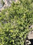
Another less common slope dweller is Holodiscus microphyllus, or Bush Ocean Spray, a deceiving name, or Rock Spiarea, which is also somewhat confusing. Confusing because Spiarea is the genus name for an entirely different genera of shrubs. So I call it simply Holodiscus. ( Botanical names can be confounding to the uninitiated. I’m not a big user of mnemonics, but I still remember first learning this plant’s close relative, Holodiscus bicolor, and the phrase immediately came to mind, ‘Holy Discus, Batman!” I know, silly, but I doubt I will ever forget that plant.)

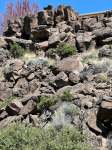
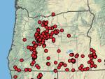
This typically occurs on the eastern flank of the Cascades and in the mountains of SE Oregon. The common name, ‘rock’, suggests its preferred sites. I’ve not seen one in Dry Canyon bottomland. It seems most common below the east rim north of the Maple Bridge. Continue reading

That Gray Stuff? It’s All Sagebrush…Nope

Part of the Dry Canyon plant series

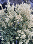
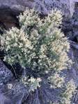
Everybody knows Juniper and I suspect that a lot of people who think they know Sagebrush, that ubiquitous gray shrub you see everywhere, may be confusing it with other plants, blurring all ‘gray’ shrubs into one. Now this may not seem to be a big deal, but if you are trying to manage a landscape with these in them or trying to create a landscape which reflects the local plant communities, then it becomes much more important that you know what you have so that you can evaluate your landscape’s condition and decide upon what you may need to do, or stop doing, to meet your goals. Continue reading

The Cut Leaf Thelypody in Dry Canyon

[Plants of the Dry Canyon Natural Area – This will be the start of a new series focused on the plants of Redmond’s Dry Canyon. I’m creating them to be posted for ‘local’ consumption on the Friends of North Dry Canyon Natural Area. It’s a City Park including about 166 acres at the north end of Dry Canyon Park which the City has identified as a Natural Preserve. The group works as an advocate with the City, on public education and helping with on the ground work projects. I’ll identify each such post here.]

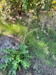
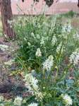
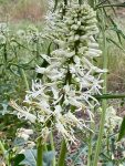
As you walk the trails below the canyon rims you will be seeing these growing scattered and in bunches. This is the Cut Leaf Thelypody, Thelypodium lacinatum. These are common where ever there’s a bit of soil between the rocks on the slopes below the rims growing amongst the tumble of massive basalt. I’ve seen these elsewhere growing in other eastside Oregon canyons with similar conditions.
These are members of the Mustard family, prolific seed producers and quite competitive. Another plant that, at least so far, doesn’t venture out into the canyon’s bottomland.
Elegant when it first starts flowering, like so many native annuals and perennials, these start declining while they proceed through their flowering season detracting from their appearance. What do I mean…each spent flower, begins to form its narrow, linear, Mustard seed capsule, quickly maturing its tiny seed and then drying, twisting and browning, while the inflorescence continues to bloom out towards its terminal end. A little messy, yes, but characteristic of these plants. We humans are relatively intolerant of such decline in our garden plants and so generally refuse them admission. Under the local wild conditions, as dry as they are, species tend to either be early flowering, when soil moisture is still most available or those like this that begin to decline before the show is over. Summer drought is a ‘cruel’ taskmaster. There are exceptions to this rule but….

https://oregonflora.org/taxa/index.php?taxon=8778

On Ornamental Trees and the Remaking/Unmaking of Place: Revising the City of Redmond’s Tree List, part 2

How Much to Water?

Recommending trees from climates with significantly wetter growing seasons needs to stop if we are to continue growing our population. Landscapes as designed, and managed, are the single largest user of residential water. Recommending trees which ignore this problem is irresponsible. Lower water use residential landscapes are possible. Local codes and recommendations must, however, reflect this priority.

Additionally, how much to water is a bit of a mystery to all of us and especially so to non-gardeners. How much? How often? Our watering practices should be determined by the local precipitation and the tree’s needs. What is commonly done, however, is that we water for our lawns and that largely determines what our trees receive, unless we have separate drip systems. A tree’s root system doesn’t stay neatly between the lines. They quickly extend out well beyond the span of the tree’s leafy canopy. In many cases even 2-3 times as far, taking up water and nutrients. A roots of a tree, planted in a small bed, adjacent to an irrigated lawn area, will move out into the lawn. A tree isolated in a xeric bed with only a few drip emitters, will quickly demand more than such a meager system affords it and such a tree, if it requires summer moisture, will struggle while competing with its nearby  ground level growing neighbors. Again ‘neighbors’ should share compatible requirements so all can thrive on the same ‘diet’ and moisture regime. Continue reading